 PredictionToolkit

What is National Weather Service API?
Forecasts and observations answer different questions. A contract on a daily maximum can specify a station, local reporting day and settlement publication that a nearby forecast grid does not reproduce. Map the intended location to the correct forecast or station endpoint, then preserve the observation’s units and timestamp.
Official guidance covers representations, content negotiation, caching, feature flags, rate limits and outages. Access is free subject to reasonable unpublished rate limits, and requests require a descriptive User-Agent. Follow the access and authentication documentation and validate timestamps, missing observations and update cadence for the research task.
Who it is for
- For developers building U.S. weather tools and researchers comparing forecasts with observations.
Features and coverage
- Official forecast, alert and observation endpoints
Retrieve documented weather data and select the location, station and data family appropriate to the question.
- Machine-readable representations
Use GeoJSON or other documented representations and follow content-negotiation and header requirements.
- Operational guidance
Read caching, rate-limit, feature-flag and outage guidance when building a recurring data feed.
Workflows with National Weather Service API
Map the intended weather location
Follow official examples to connect a location to the appropriate forecast or station data, then validate units and timestamps.
Check the contract’s specified source
Compare station, unit and reporting period with the contract’s required source and publication before interpreting a reading as settlement evidence.
Pricing and total cost
Official documentation states access is free, subject to reasonable unpublished rate limits. A descriptive User-Agent is required; follow the documentation for authentication and content negotiation.
Getting started
Before you start: A forecast is not a final observed settlement value. Geographic coverage, station choice, missing readings and update timing all matter; a nearby grid does not reproduce every contract’s reporting day or settlement publication.
- Read official examples and the API specification and identify the required location, station and data type.
- Use documented headers and caching behavior and validate timestamps and units against the research and contract requirements.
Requests need a descriptive User-Agent and must follow documented authentication and content-negotiation requirements.
Useful links
What to check
- A forecast is not a final observed settlement value. Geographic coverage, station choice, missing readings and update timing all matter; a nearby grid does not reproduce every contract’s reporting day or settlement publication.
A closer look
Ratings & reviews
User reviews 0
The main score switches to user ratings after 5 published reviews.
A specific example helps the next person choose the right tool.
Related tools
Browse category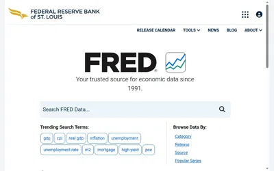

Economic-data search and history for checking the precise measure behind a macro contract.
- Access Web
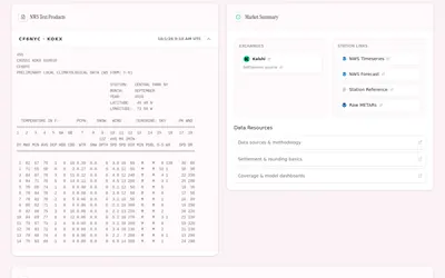
Weather-contract research organized by observation station, market date and settlement references.
- Access Web
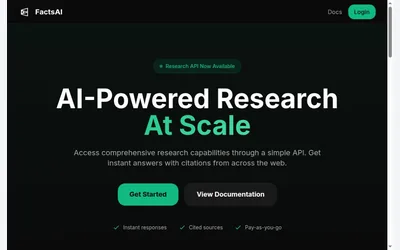
A prepaid research API for cited factual answers, with source checking left to the research workflow.
- Access API
Frequently asked questions about National Weather Service API
Can a forecast replace the final settlement observation?
No. Match the specified station, measure, reporting window and settlement publication; forecasts and observations serve different purposes.